Our New Digital Division

Working with urban planners, architects, and facilities managers has given us a close-up view of what these groups are managing: traffic, waste, labor, and fuel.
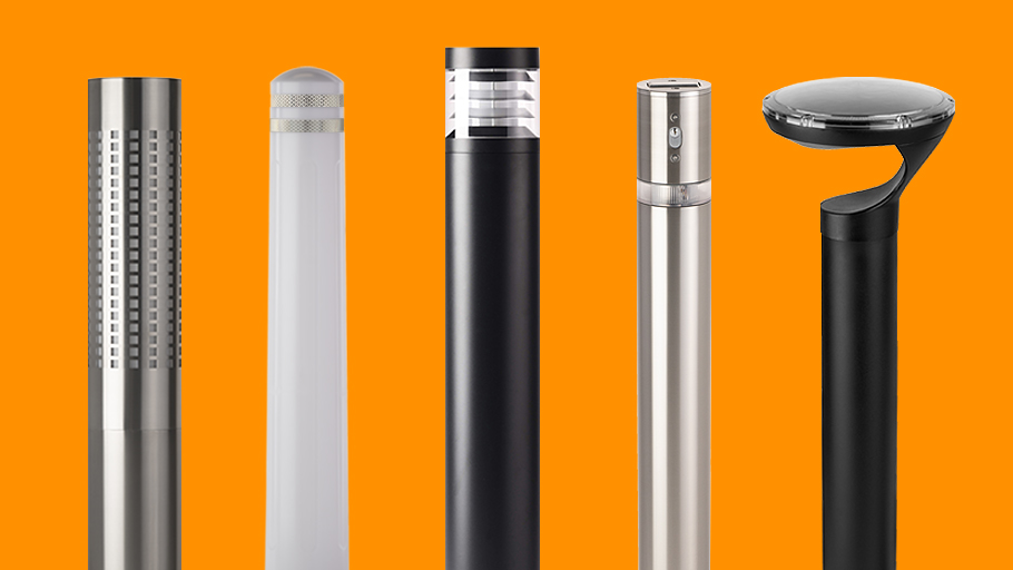
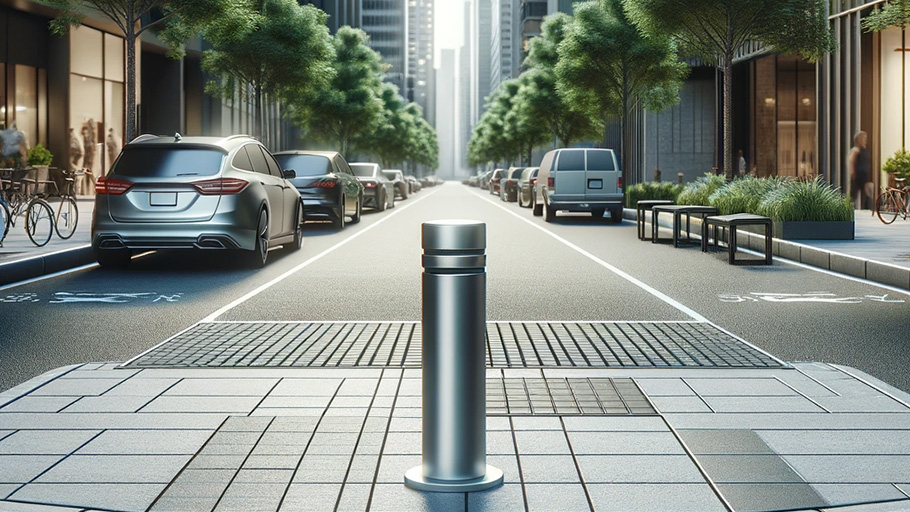
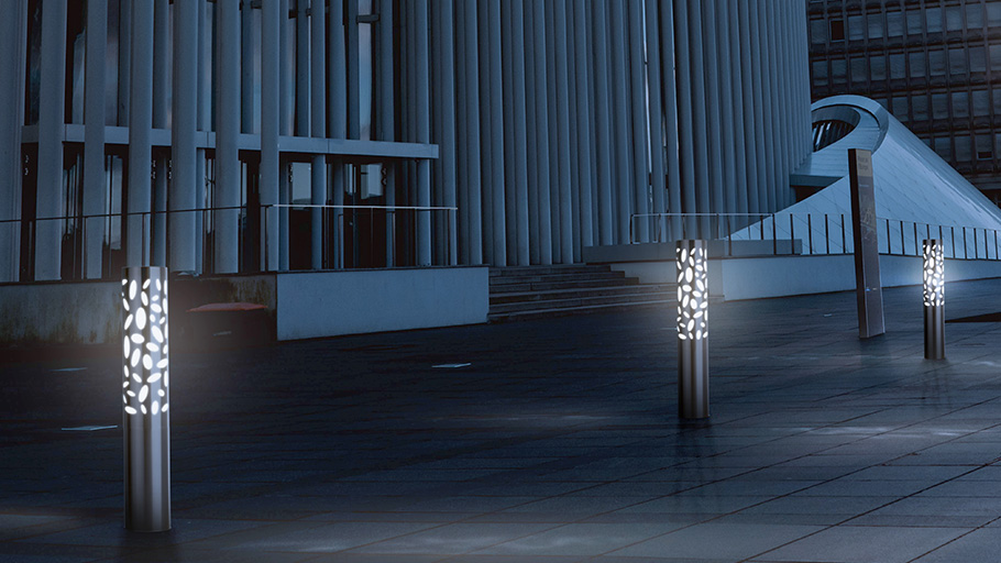
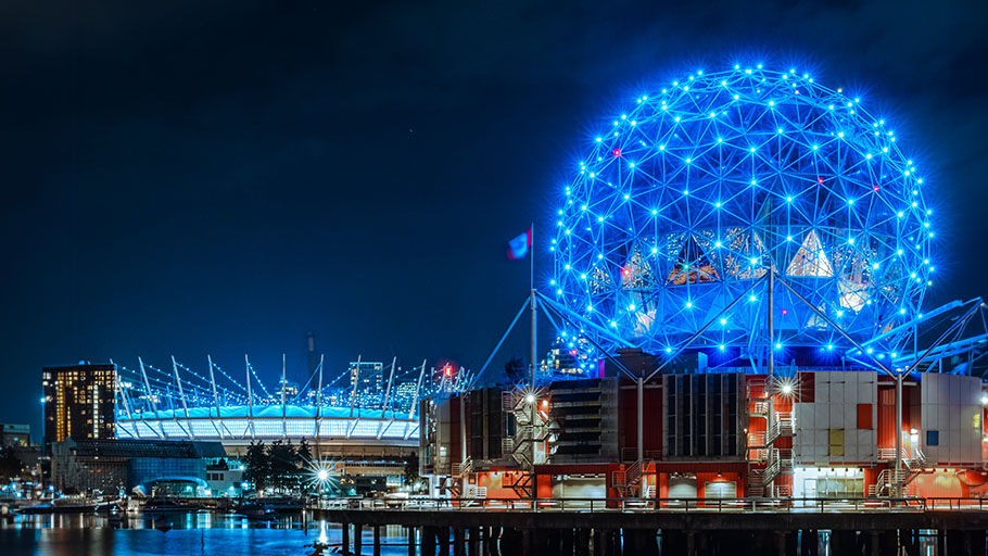
Our company heard these frustrations and started putting our minds to the problem. In response, we’ve been working on a new line of smart-city solutions—some of which can fit into bollards, and some which can be deployed on other site infrastructure. We’ve created a whole new division to support this exciting work. It did not take long until our first pilot projects began rolling out: we’re working with the City of Burnaby, who brought us interesting challenges looking for solutions.
We’re pleased to introduce Citysage, our smart cities division!
Citysage helps create “digital twins” of cities that allow for mapping and sensing in 3D space.
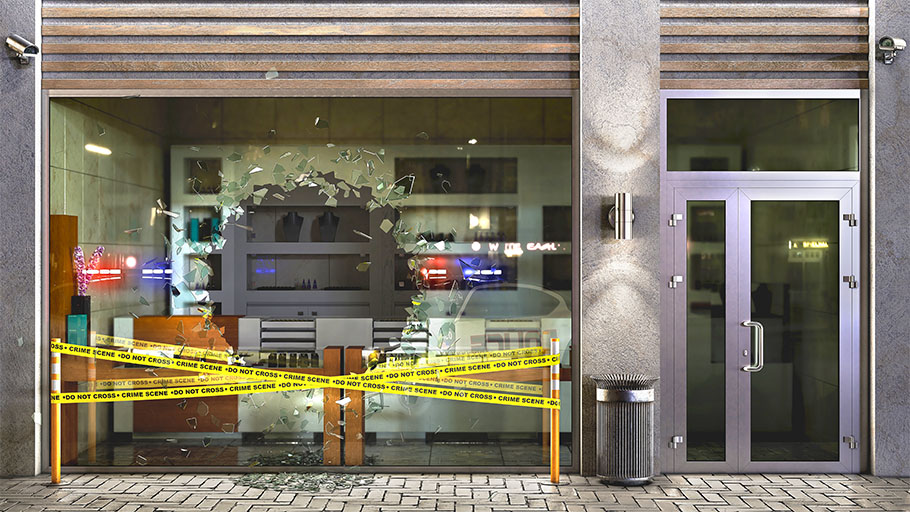
Our suite of intelligent Citysage solutions watch, analyze, and report from remote locations so that organizations can manage sites effectively. For Burnaby, we are currently watching levels of waste, water, and noise. Some of these reports, like those on tide water levels, can be combined and validated against external data sources to create forecast models. When alert conditions are reached, our smart systems can give organizations a timely heads up by sending email and/or phone alerts.
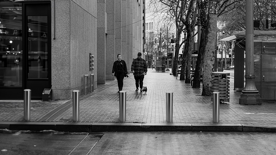
We’re also working on products to analyze the flow of people or vehicle traffic. These analyses can be location specific, customized to the client’s needs, with alert functions that make sense for that site.
Protecting privacy
Sensors in the public sphere are sometimes seen as invasive, creating a loss of privacy.
Citysage is committed to ZeroPII (Zero Personally Identifiable Information) protocols on our intelligent sensor technology. Other companies work in surveillance. Fewer are constructing intelligent models to create resource efficiencies within cities.
We primarily use LiDAR technology, which shows people in non-identifiable ways.
Our data scientists put on commanding performances to win “Best Unidentifiable Actors in a LiDAR Short.”
Burnaby Pilot Projects
Waste and Recycling
Sending a truck out to collect from empty trash and recycling cans can be a waste of time. It also wastes money, in the form of labor, vehicle wear and tear, and fuel. With cities reaching towards zero emissions targets, it may be an unnecessary release of carbon dioxide.
Waste level monitoring offers alerts on a management dashboard showing when bins are nearing capacity. Clients can set conditions to trigger texts and emails as well. For example, alerts could go at 80% capacity, bin overflow, or time since last emptying.
The online dashboard will allow organizations to view their data in different ways depending on what the client is looking for during set up. Route planning can be made simpler through a mapping function. Custom functions can be constructed: for example, time since last emptying could also be used as a sorting function for route planning. It may still be important to visit bins that rarely, if ever, get full.

Rain Garden Monitoring
Rain gardens and bioswales are increasingly put into city and site water management plans. Places like Milwaukee are building groundwater recapture into their development requirements.
Sewer systems are easier to judge as working or dysfunctional than organic systems. Our rain garden monitoring systems allows us to make functionality more obvious in bioswales. The City of Burnaby’s pilot project watches how often there is standing water in rain garden sumps. It also notes when water reaches the level of overflow to sewer system. This allows for consistent data on when the rain garden is working as intended, and when its capacity has been overwhelmed.

Smart Mosquito
In Burnaby, a city parking lot was often becoming a place where younger people came to play music, drink, and talk. The parking lot partygoers found the location convenient to bars and buses, but the lot is surrounded by residences. On summer weekends, the neighborhood would often be kept awake by the sounds of talking and music.
To help make the lot a little less comfortable, we constructed a “smart mosquito” that watches the parking lot. It detects people loitering and turns on a high-frequency sound that is bothersome to younger individuals. When people leave, the system turns off again.
Sewer Overflow
Sewer overflow above the grate causes roadway flooding; below the grate it can eat away at the dirt and cause sinkholes and other issues. City staff often won’t discover an overflow event, however, until a citizen contacts the municipality to let them know.
Our sewer overflow sensing can watch and alert for quick rates of change, particular levels, or full overflow. In the future, additional options will allow us to offer measurements of sediment levels, rates of flow, debris, temperature, pressure, intrusions, and other important information that normally might require a team to respond.
Tide Level Monitoring
During high tides and big storms, storm ditches that drain into the ocean can fill with sediment or water and overflow, causing damage to the surrounding landscape. Monitoring tide levels in these channels can alert crews to problems before they arise. Over time, our intelligent systems will create data models used to predict when there may be problems in an area, using historical data and weather forecasts. Crews can be dispatched to areas of concern as a weather system is developing.

UBC Capstone
As one of its first acts as a named division, Citysage presented at a UBC Capstone program to Masters of Data Science students finishing their degrees. Our team showed where we are, where we’re going, and what interesting science problems there are to work on. We received a very positive response and are looking forward to welcoming four students into our team this spring!
As two of our data scientists are graduates through UBC’s Masters program, and several our staff are alumni to the school, it is nice to reach out to the next generation of graduates.
Future developments
Citysage will continue Reliance’s mission of “making places people want to be” by helping sites, organizations, and municipalities manage their resources and time with remote sensing and intelligent data modeling.
Citysage will tie into ESRI ArcGIS data maps and structures as part of a city or site’s digital twin. Depending on the location and site needs, we will integrate other data sources to help with predictive modeling; weather forecasts, historical traffic patterns, and other relevant databases can be used to build intelligence about local issues.
Currently, Citysage is working with a limited number of clients, creating unique tailored solutions. Do you have an interesting problem you want our help to solve? Contact [email protected] and let’s have a conversation about doing a pilot project for you. Less interested in the bespoke solution? Soon we’ll be launching suites of out-of-the-box products. Visit us at Citysage.io and sign up for our newsletter. We’ll keep you in the loop!
Join our Newsletter!
Receive updates via Reliance Foundry’s newsletter. You may unsubscribe at any time.